Our members can perform the following services for you. Click on our Membership Directory to contact a land surveyor.
Cadastral or Title Surveys
- Re-defining land boundaries for ownership
- Subdivisions for land and strata titles
- Determining boundary encroachments
- Submission of plans under the Planning Act
- Preparation of Certified Plans and Strata Title Plans
(Note: The surveyor must be registered with the Land Surveyors Board, Singapore before he can undertake any title surveys in Singapore.)
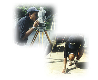
Engineering & Construction Surveys
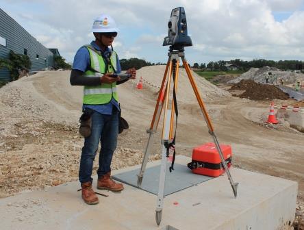
- Setting out surveys for construction & engineering works
- Height monitoring and land deformation studies
- Bridge and Tunnel surveys (MRT)
- Land reclamation
- Pipeline and cable laying surveys (power, sewer, etc)
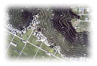
Topographic Surveys

- Location of natural and artificial features on the ground
- Contour and thematic mapping
- Map production
Hydrographic Surveys
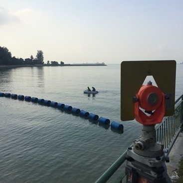
- Charting and mapping of the near-shore seabed
- Detail set-out of harbour works
- Advising on site selection for offshore pipelines
- Dredging and reclamation surveys
- Consultancy services to shipping and port authorities
Geodetic Surveys
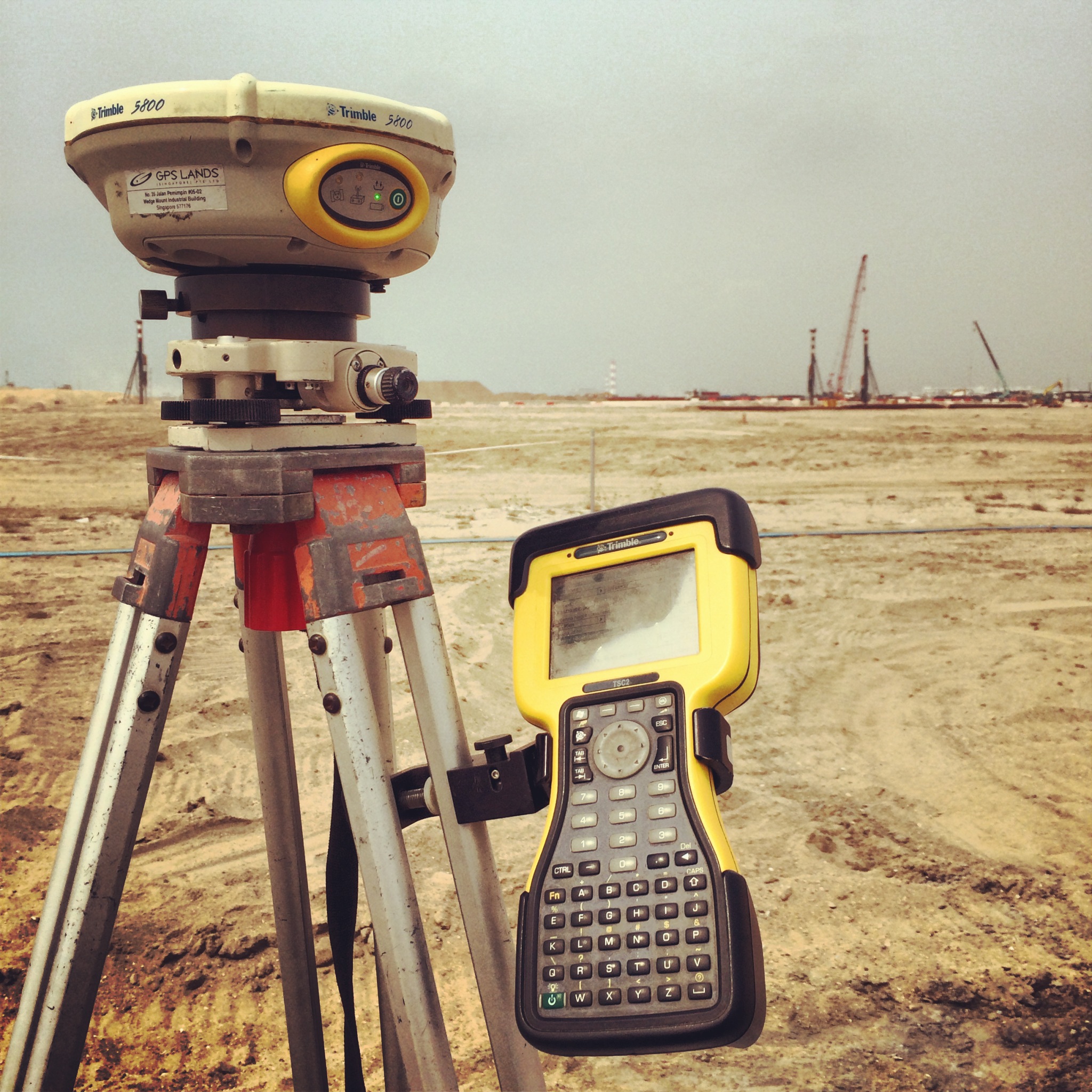
- Establishing large area control network surveys
- GPS (Global Positioning System) surveys
- Precise levelling and establishing Benchmarks
Photogrammetric Surveys
- Aerial photography surveys
- Terrestrial photography surveys
- Photo-control point establishment
- Digital terrain modelling
GIS (Geographic Information Systems) Services
- GIS Consultancy services
- Geographic and Land Information management
- Spatial data management
- Digital mapping services